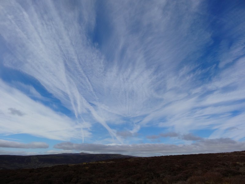
I was walking in glorious weather, sunshine, a light breeze (but still enough to nearly drown out the audio recordings I made during the day); indeed at the end of the day the top of my head is feeling very slightly tender, so I’ve bought sun factor 50 spray for the next step.
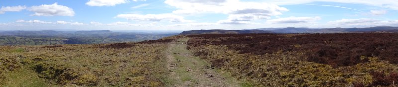
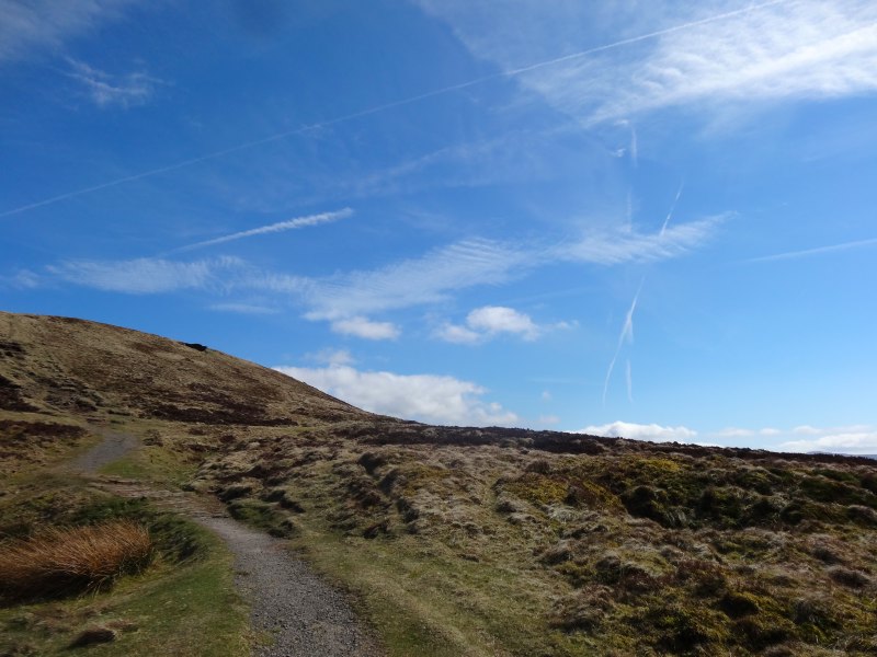
Way finding is straightforward, after the first few lanes and fields, you simply go uphill to the ridge that slowly rises ahead to the north east.
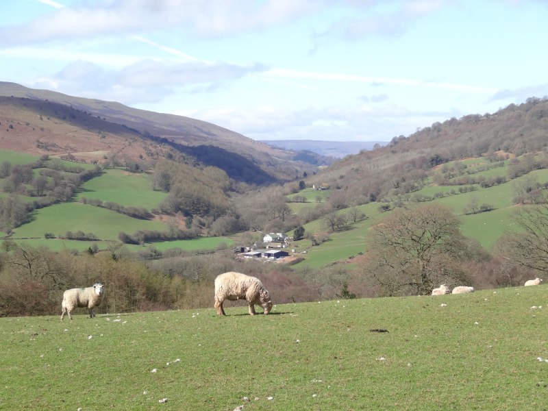
The previous day had been dominated by the changing face of Skirrid, and today the gradually receding Skirrid still was a large part of the early day. As the ridge rises gradually, it is the view behind, to the south, that is uninterrupted. This reminded me a little of the way the approaching Severn Bridges were the fixed goal of my second day of travel, but were still the initial, albeit brief, view from Offa’s Dyke.
One of the things that struck home to me (although it is hardly a major revelation) is just how much navigation depends on following foot-beaten paths when signs are slightly ambiguous. When you come to a major decision point, it is good to have both "you’re on the right track" markers and also "not Offa’s Dyke" about 50 yards down the wrong path! Confirmation and dis-confirmation are equally true for real world navigation and digital interactions. Feedback is one of the core UI concepts, and even more critical, as many recent systems do a lot more ‘for you’ without you meaning to do anything!
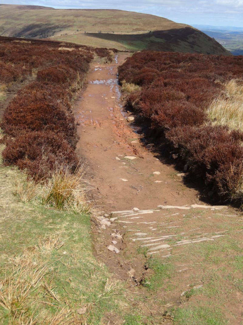
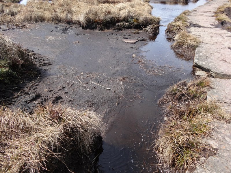
Way finding is easy when there are long horizons, more difficult in woodlands, or criss-crossing fields and stiles. I simply follow the long trodden pathway north, with occasional boggy patches, but largely sun-dried mud with stepping stones where sections of stone have not already been laid down. How different this would be on a rainy day, perhaps with low cloud. Arry (dragonrun1027) warned me about this section, "watch the weather forecast", she said, "take the road route if it is bad". The ridge is flat in places (hence boggy), and it would be so easy to take the wrong path if the long line of it were not visible.
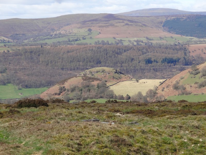 Looking out westwards there is a line of ridges, many with sharp escarpments. The lay of the land either side of my own ridge line is not so clear, strangely it is often the things closest to us that are invisible. Occasionally as the ridge bends a gentle meander, I catch a glimpse of deep, near vertical, slopes in places, I guess ice cut, by the southern fringes of glaciation. It made me think again of how this countryside, just a few miles from towns, could be so dangerous when the weather closes in.
Paul, who had been at the Lancaster Arms the night before and whom I met again later in the day on the approach to Hay-on-Wye, is a volunteer ranger for the North York Moors National Park and also has worked with Duke of Edinburgh’s Award training. He told me how hard it is to impress upon those coming up from the south of England, just how extreme conditions can be in the Yorkshire Moors.
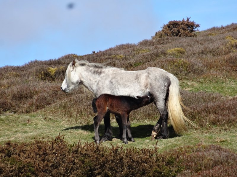
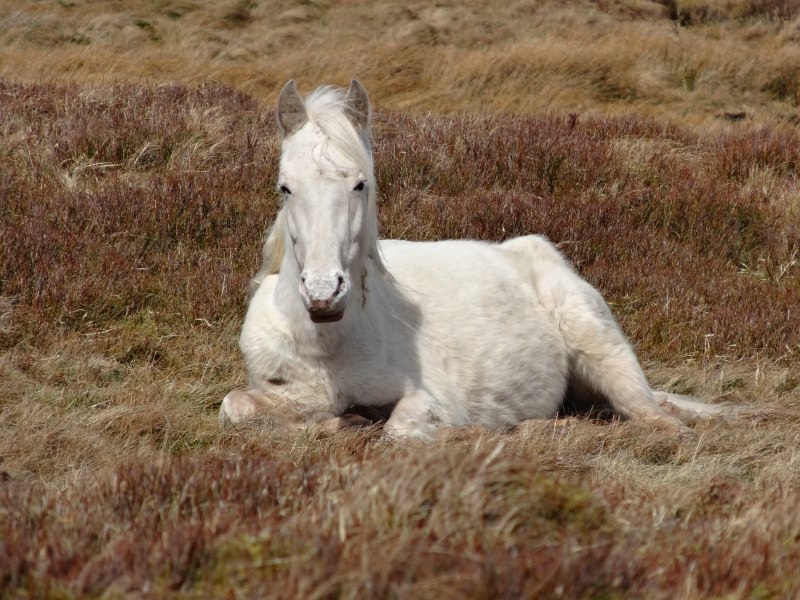
Apart from the semi-wild horses with their bandy-legged foals, and the near constant skylark song, there was little company along the track, I met just five walkers going in the opposite direction.
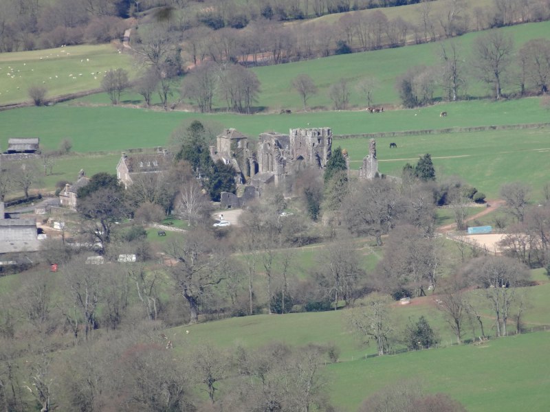
First was a lone walker with gaiters and a white bushy tailed dog so that, at a distance, it looked almost as if he had a fox as companion. In his soft country-squire-like voice, he said that he had come up from Llanthony Abbey. This is one of the few points of access to the ridgeway along its length, but a stiff climb up/down the escarpment, 1000 feet in just half a mile, and adding two tough miles for the day, so despite the promise of cream teas down below, I stuck to the ridge and my packed lunch!

From the erosion on the path, I assume this stretch does get busier in the summer, but a couple I met on the way said that it was one of the quietest patches. Although spectacular, on any less perfect day, it would not be the ground for an unpracticed walker. Ray and Lynn, the night before in Pandy, had spoken about the pilgrim trail across northern Spain, how every few kilometres there was a small cafe. While it is obvious from the map that this stretch has no refreshment (other than clean air and clear horizon), they, like me, were amazed at the lack of tea shops, or kiosks along the Offa’s Dyke pathway.

Partly it is about numbers; if there are not sufficient walkers, then there will not be facilities, but if there are no facilities it is hard to attract any but the more committed walkers. With public policy emphasising the importance of exercise, it seems this needs a central push to break the commercial impasse.
However, it is in fact the opposite. It would require little investment, for the occasional farm to put a sign up "teas and cakes" and simply serve a cuppa round the kitchen table. This would have happened years ago. However, nowadays planning regulations make this impossible. I told Paul, Ray and Lynn about the way Elephant’s End had had to close in Tiree as the living and commercial premises were not ‘sufficiently separated’. Rules that may make sense in a crowded city, with large throughputs of people, are a nonsense in rural areas with scanty out-of-season custom and where each person will often have two or three jobs.
[completed below April 2014]
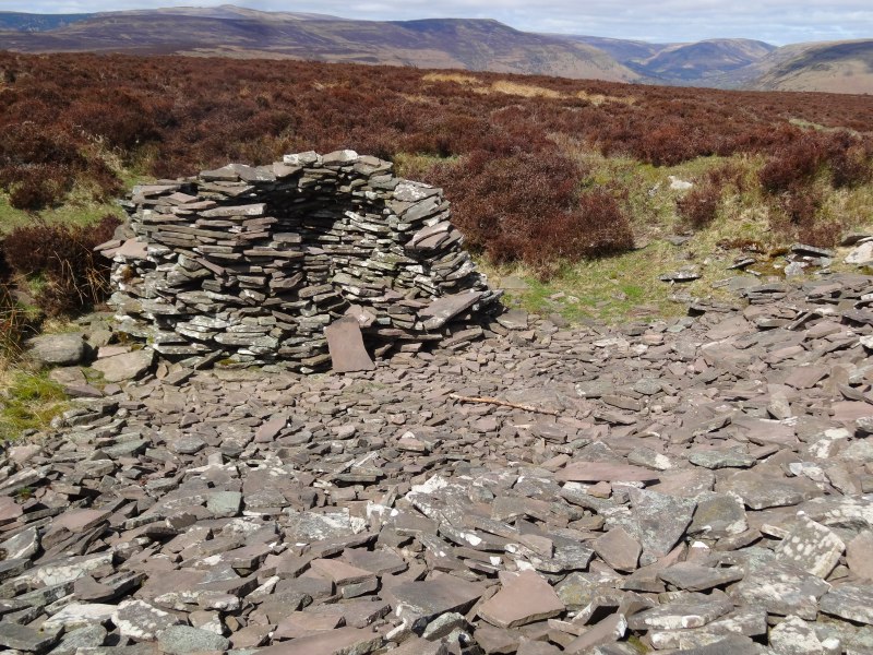 At one of the peaks along the way, there is an area of rough broken rock. I’m not sure if it is natural, or small scale quarrying at some distant time. The pieces are flat, and someone has constructed a round shelter, like a half-formed beehive hut. The sun is beating down and there is little shelter on this exposed ridge. After getting a little burn on my head and ear on day 3, I did buy factor 50 sunblock in Monmouth, and I am wearing a cap, but still it is good to take some shelter from the sun while I eat the packed lunch prepared by the Lancaster Arms. I can imagine that in different weather it would be even more important to get some shelter; only a few weeks earlier there was six foot of snow on these hills.
I recall in school reading a short passage written by Sir Edmund Hillary about the final ascent of Everest. It was in one of the comprehension books, with lots of short passages, maybe a couple of hundred words each, that you had to answer questions about and summarise.
Hillary wrote about the last hour or so, the tantalising skyline ahead that kept looking as if it were the summit, only to find when they got there that it was just a shoulder of the ridge line and another apparent peak behind.
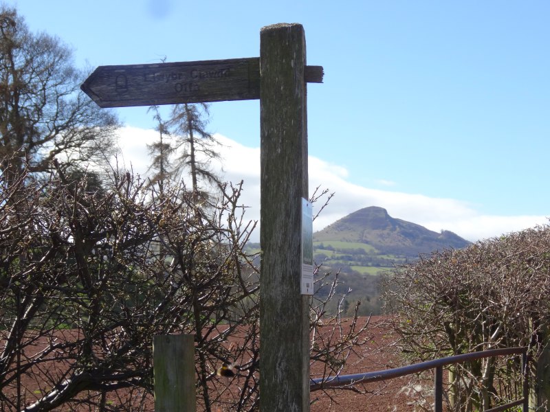
The long ridge is a little like that. The combination of the gradual ascent and the curve of the ridge meant that at the beginning I saw what I thought was the final peak of Pen y Beacon, not so far ahead. In fact what I saw turned out to be no more than the half way point.
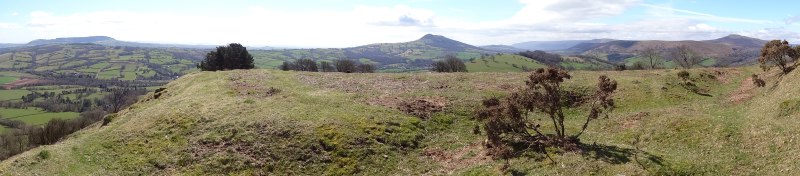
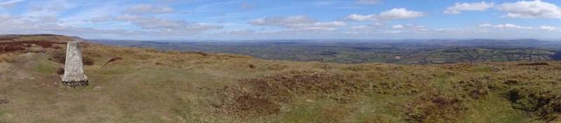
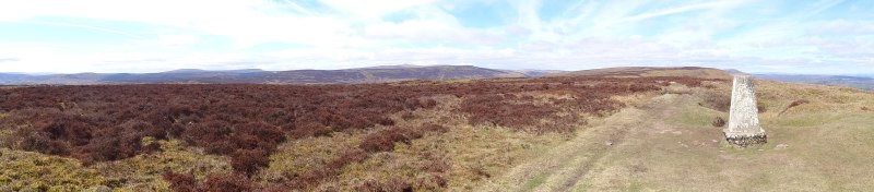
The day is clear and here are views all around, and I had discovered the panorama mode on my camera, so I have panoramas at each minor peak along the way. However, it is the line going forward and back that constantly holds my attention.
The modern border between Wales and England follows the ridgeline precisely, and there is no visible sign of Offa’s Dyke here, there was no need to construct a barrier, when the land did it for itself. Indeed this is the perfect example of the way a natural barrier makes an uncontentious boundary – it is exactly the same line one now as it was 1300 years ago.
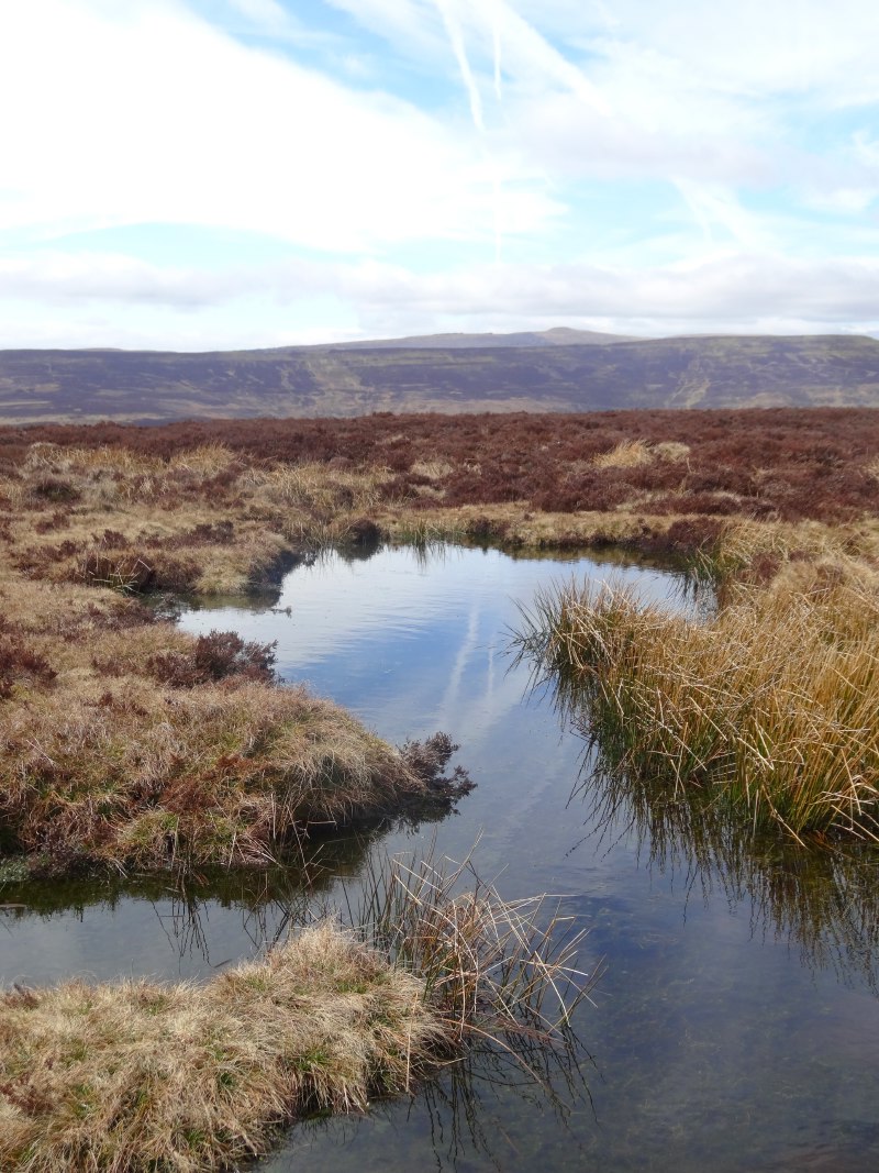
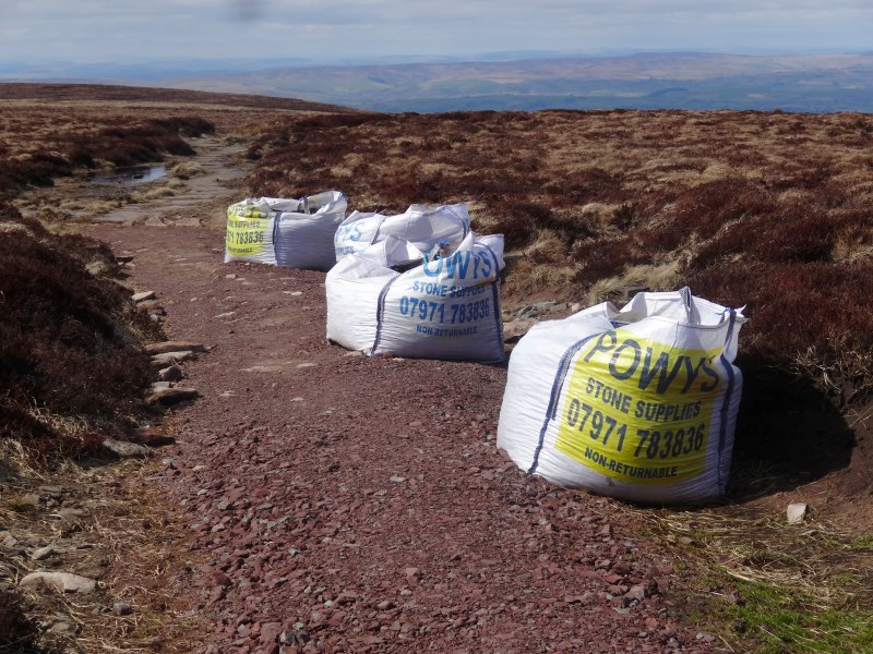
At the low points between peaks the peaty ground becomes bog-like, with dark rainbow-slicked pools between, rank like the marsh lands that Frodo and Sam travel through in Lord of the Rings, guided by Gollum as faces of the dead stare up from beneath the miry depths; but beautiful also, iridescent in the sunshine. Where the land was soft there were often small clapper bridges, chippings, or stepping stones. At one point there was a stash of those yard-square tonne packs of gravel, clearly lifted by helicopter for summer path maintenance.


I come to the highest spot, just short of Pen y Beacon, the northerly tip where, I assume, beacons would have burnt at times of national celebration, invasion or national disaster. It seems to have no name of its own.
Suddenly there are people who have come up for the day, either from Hay-on-Wye, or from one of the car parks only a mile away down the hillside. This will be a common experience of the walk, days meeting hardly anyone at all except within a mile of the end points.
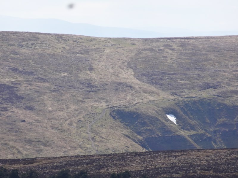
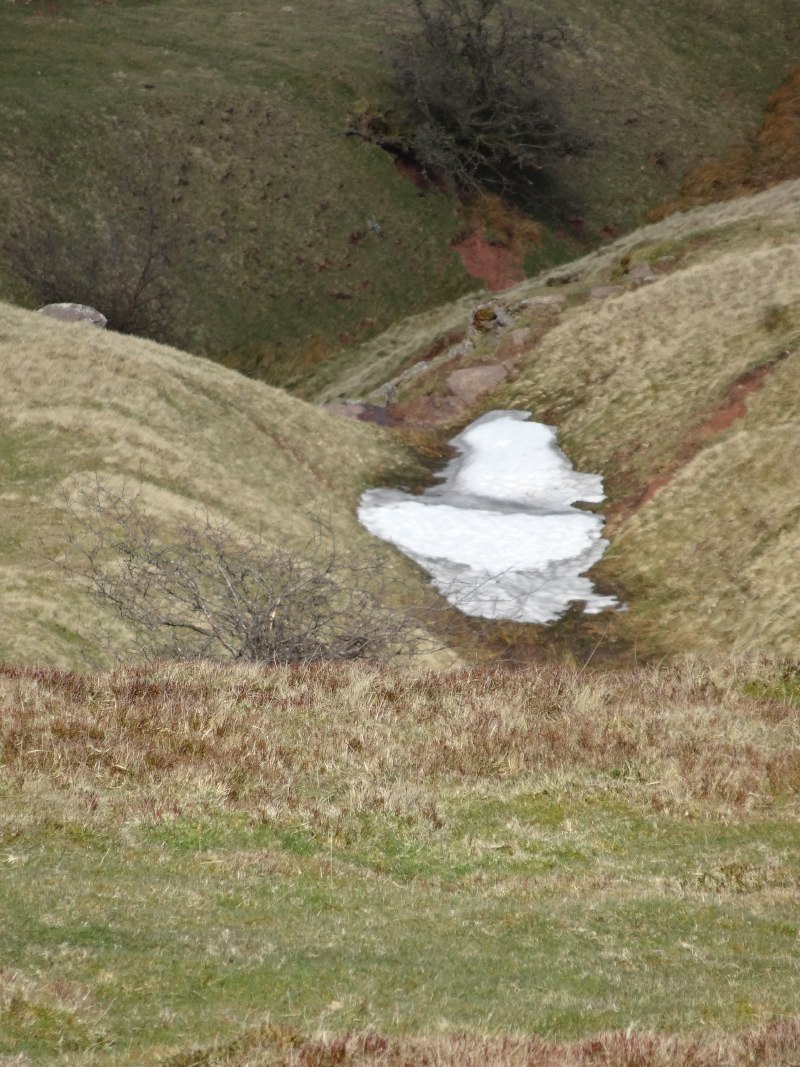
The path does not go all the way to the end of Pen y Beacon, where the way down looks tortuously steep, but instead cuts obliquely down its north east flank. The Vale of Eglwys is sandwiched between this ridge and a parallel ridge to the south west, and as the sides of these had closed together for the last few miles of ridge walking, I had seen patches of white on the opposite slopes. I hadn’t been sure whether this was snow or simply patches of bare rock, but here, on the north east, in gullies protected from the sun, I could see the remaining snow at close hand. It was so hard to imagine, in the burning sunshine, that this had been a snowfield just a few weeks previously.
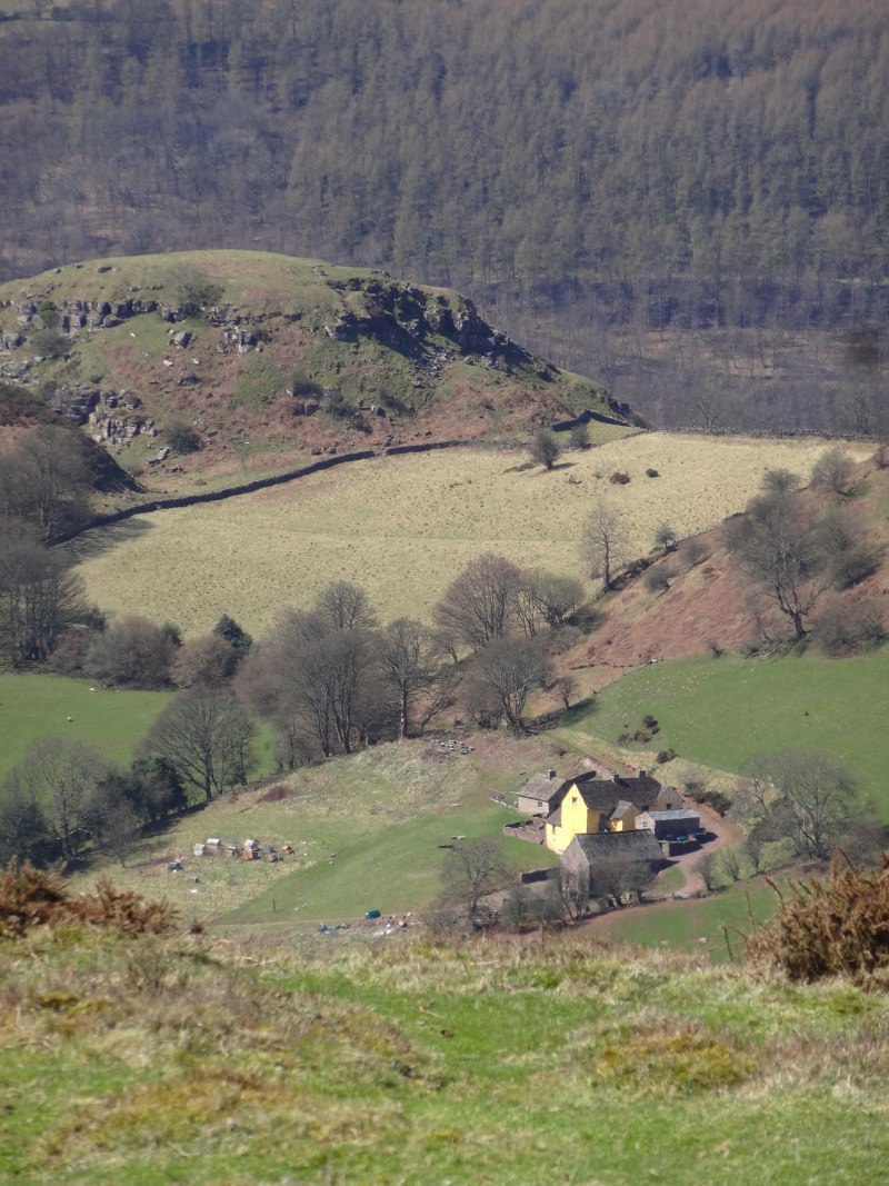
The path descends to the road and after a short period running beside it, across onto a small gentle grass-topped hill. The map has ‘Dan-y-capel‘ marked by the hill, but I think this is the small hamlet which was out of sight below the western edge.
Sitting on a bench, boots off, rubbing feet and taking a rest were the Three Dykers, Paul, Ray and Lynn. They had left a couple of hours earlier than me, straight after breakfast, while I had been making the most of the Lancaster Arms‘ excellent WiFi, and even doing some coding. However, they took a more relaxed (sensible) pace than I, and also were seasoned walkers so knew to take care of their feet on the way. We chatted for a bit before I set off again.
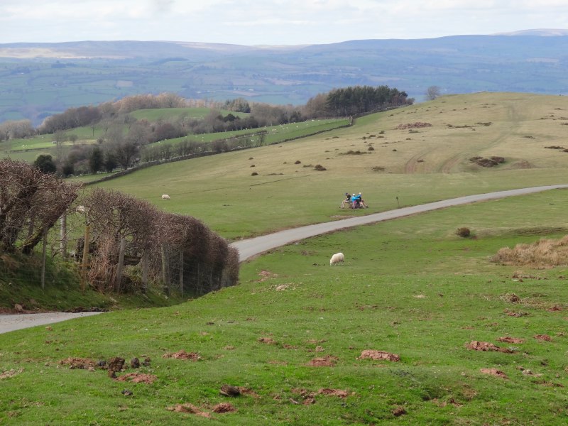
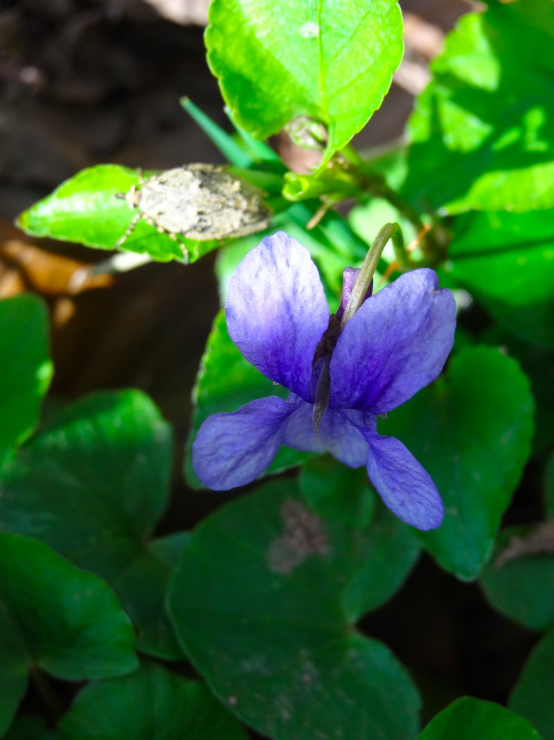

We were still reasonably high (401 metres on the map), but had dropped over a thousand feet from the ridge top, and here were clearly in rich pastureland not moorland, the grass, the flowers, the feel of the air, so very different.
The path descends the hill in a sort of funnel between hedgerow and woodland, and I have written about the next part of the descent in a separate post ‘Tom Bombadil Country‘.
At some point after meeting Tom Bombadil, I met again with the Three Dykers, I’m not sure whether I stopped for a bit, or whether they were simply walking this part faster, but we stayed together for the last descent into Hay-on-Wye.
 We were almost in the town crossing a large humped field (always a problem to see the signage on the opposite side), but had seen the stile with a marker on, and were climbing over when a man on the far side said, “the path doesn’t come through here”.
My instant, uncharitable, thought was that he simply did not like people coming past his property, but in fact, while there was a path down here, the main Offa’s Dyke Path stayed along the field for a little longer and we had simply followed the wrong arrow.
Finally we made our way into Hay-on-Wye and departed for our separate B&Bs. Mine, Rest for the Tired (aka ‘Rest for the Tyred‘ for bicyclists), is set above a second-hand bookshop, not that that is a defining feature in Hay-on-Wye, the book capital of the UK, not to mention sometimes declared an independent state.
After settling down in my room and ‘tending technology’ for (quite) a while, I set off to find dinner. As I went into the Blue Boar, who should come out but the Three Dykers again, they had eaten and were on their way back to bed!