|
![]()
Abstract
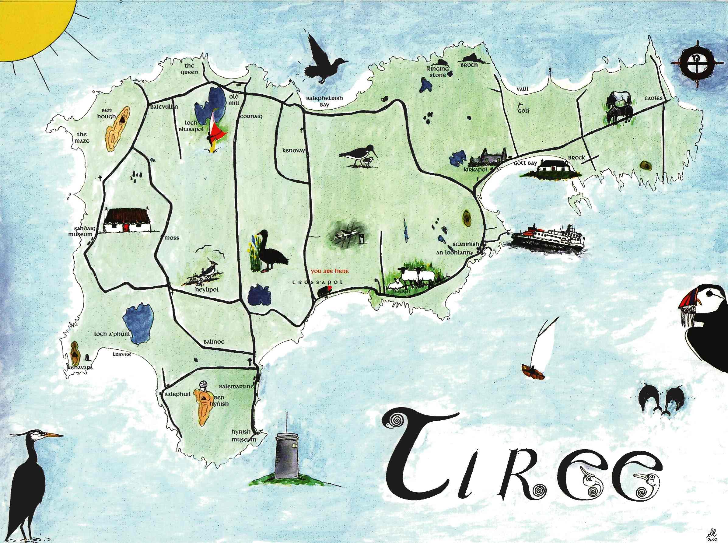
Spatial and geographic cognition are not only important for designing mapping and mobile applications, they also underlie, at a metaphorical and neurological level, many other aspects of abstract and digital reasoning. Digital maps need to respect this rich human understanding of space, which is not always found in the Cartesian regularity of standard maps. Instead it is often embodied in quirky and irregular local maps and effective use of these alongside 'standard' maps is not only good for interaction, but can also be a statement of community empowerment. These and other issues are being explored in the author's ongoing practical work on mobile local heritage applications and a three month, 1000 mile, IT-focused walk around the entire periphery of Wales.
Keywords: maps, mental models, local empowerment, mobile user interfaces
Slides
References
- Clifford, S. and King, A. (eds). From Place to Place: Maps and Parish Maps. Common Ground, 1996.
- Cowan, J. A Mapmaker's Dream: The Meditations of Fra Mauro, Cartographer to the Court of Venice. Hodder and Stoughton, London, 1996.
- Dix, A. Welsh mathematician walks in cyberspace. in Proc. CVE '00. ACM (2000), 3-7. http://alandix.com/academic/papers/CVE2000/
- Dix, A. Paths and Patches: Patterns of Geonosy and Gnosis. in Exploration of Space, Technology, and Spatiality: Interdisciplinary Perspectives,, Information Science Reference, (2009), 1-16. http://alandix.com/academic/papers/space2-2004/
- Lakoff , G. Women, Fire and Dangerous Things: What Categories Reveal About the Mind. University of Chicago Press, 1987.
- Massey, D. For Space, Sage Publications, 2005
- Shimizu, E. and Fuse, T. Rubber-sheeting of historical maps in GIS and its application to landscape visualization of old-time cities: focusing on Tokyo of the past. Proc. of the 8th Intnl Conf. on Comp. in Urban Planning and Urban Management, 11A-3 (2003).