The challenge
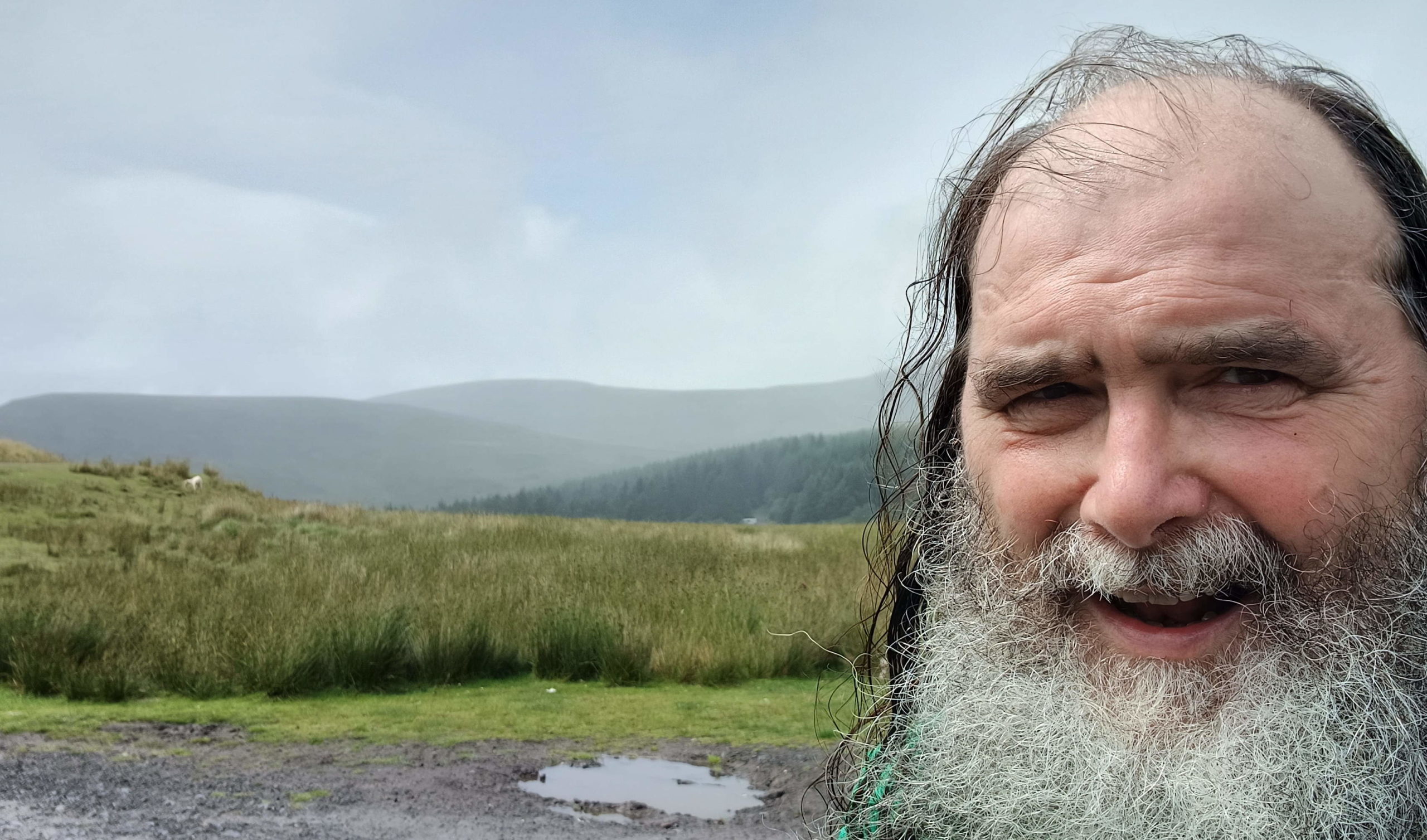
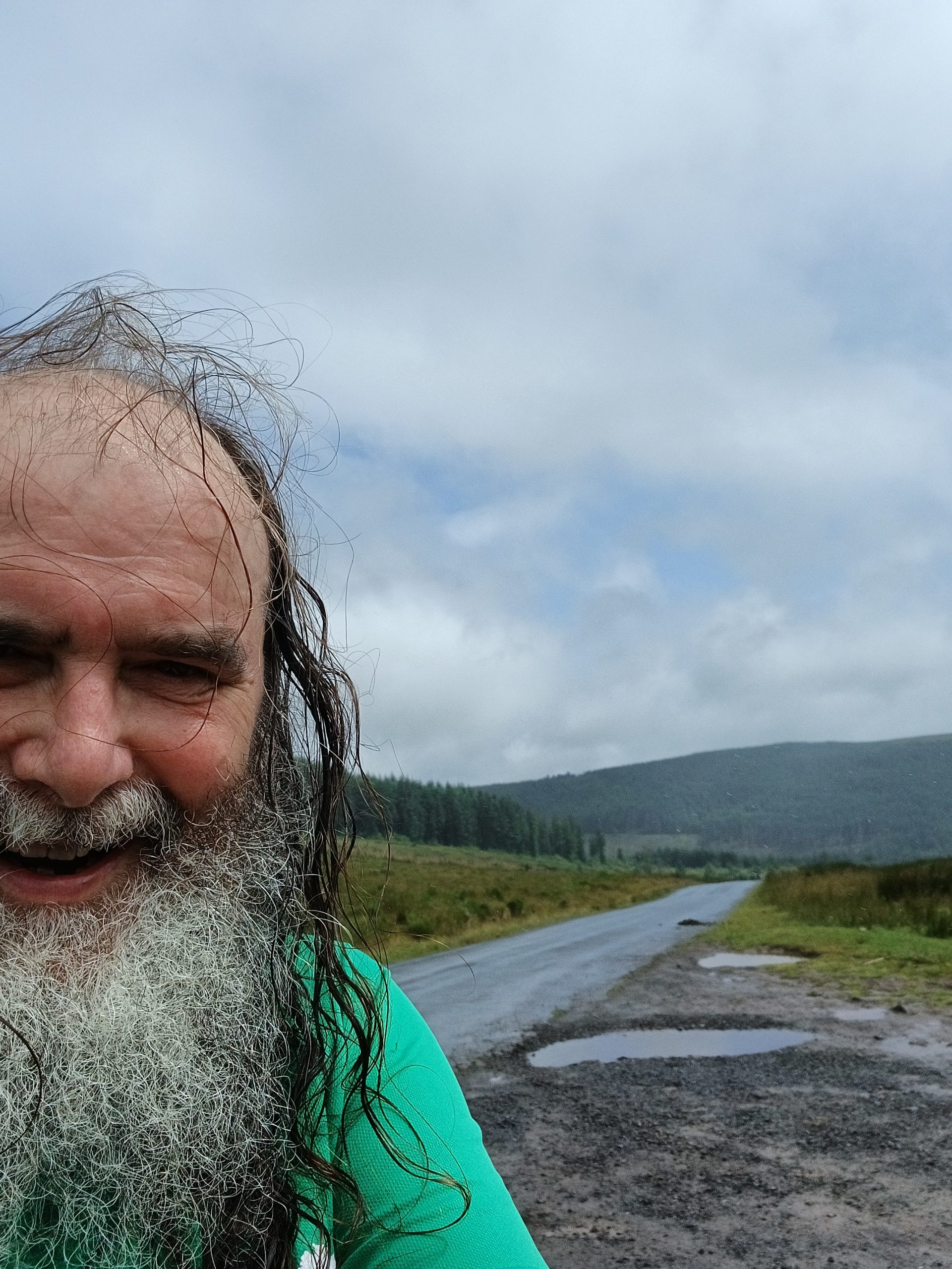
The first day was clearly going to be the biggest personal challenge, a marathon length run over the mountain pass between Brecon and Merthyr. I hadn’t realised how anxious about it had been until I found myself waking so many time in the night before, not explicitly thinking about it nor worrying, but clearly there in the back of my mind.
In the end it was not nearly as bad as I had thought. It is a long, long uphill slog from Talybont to the watershed with Talybont reservoir further and further below. Steep enough that looking ahead around a hundred yards until the next slight curve in the path, the ground was always higher than my head hight, but only feeling steep towards the beginning and end.
I was also amazed that apart from a few stops to take photographs, and a few longer breaks for a cuppa (or once a pint!) I ran every mile of the way. I’d expected from previous running that I’d have to power walk some of the steeper sections, or when fatigue set in, but, while very slow at times, my legs kept going like a little Duracell bunny.
So, while daunting the think about beforehand, I winder if I could set myself a tougher target next time!
The terrain
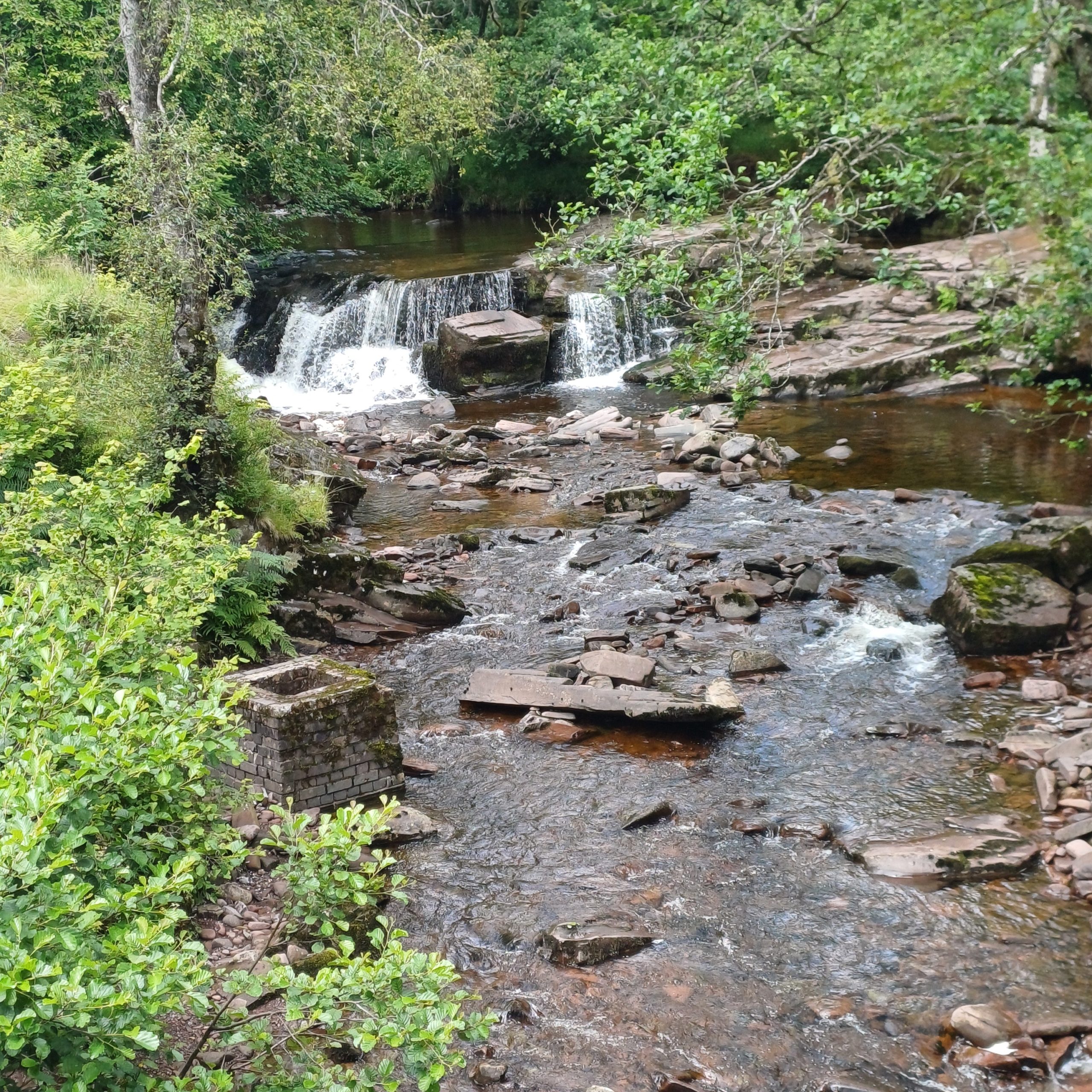
The whole way was well pathed. The only slightly rougher section (as in earrh and tree roots) was the part up round Castell Coch, but there is an alternative lower route closer to the river.
The Taff Trail falls into four main types of terrain:
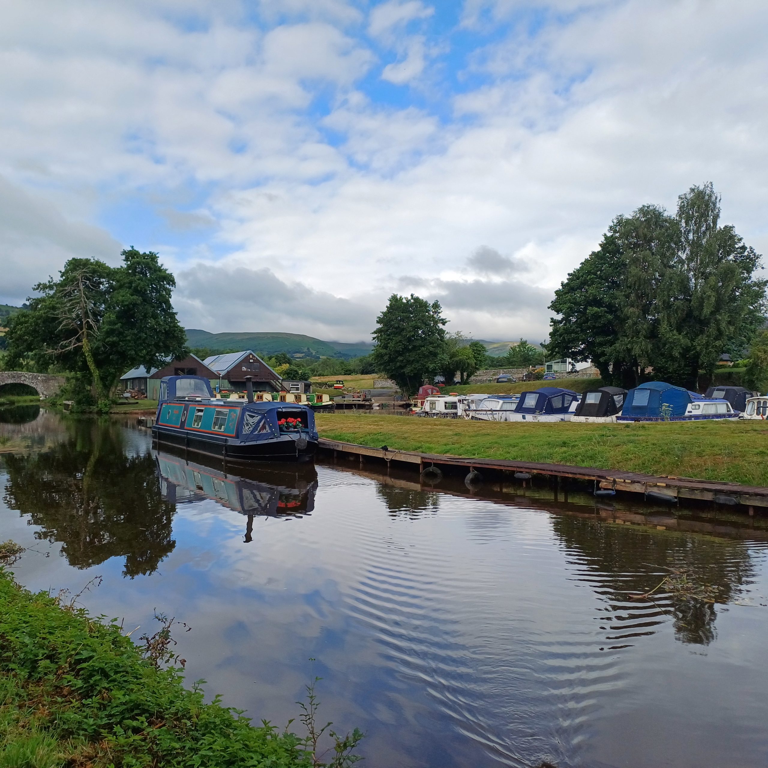
canal side (Brecon to Talybont) – very flat, but narrow as it passes under bridges … especially if there are bullocks in the way! I can see why the Taff Trail ultramarathon starts in Talybont, the idea of hundreds of runners jostling for position along the canal path would be scary!
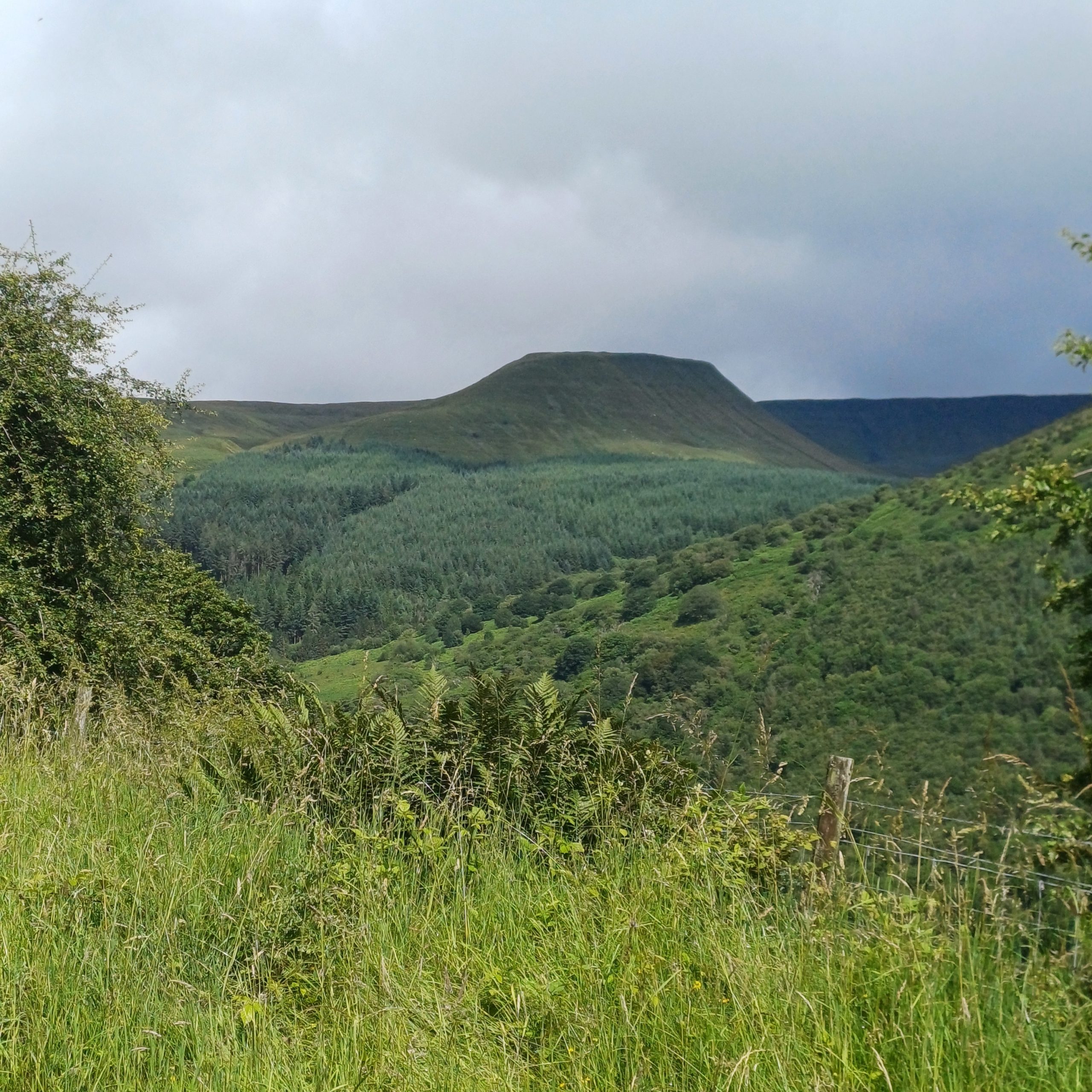
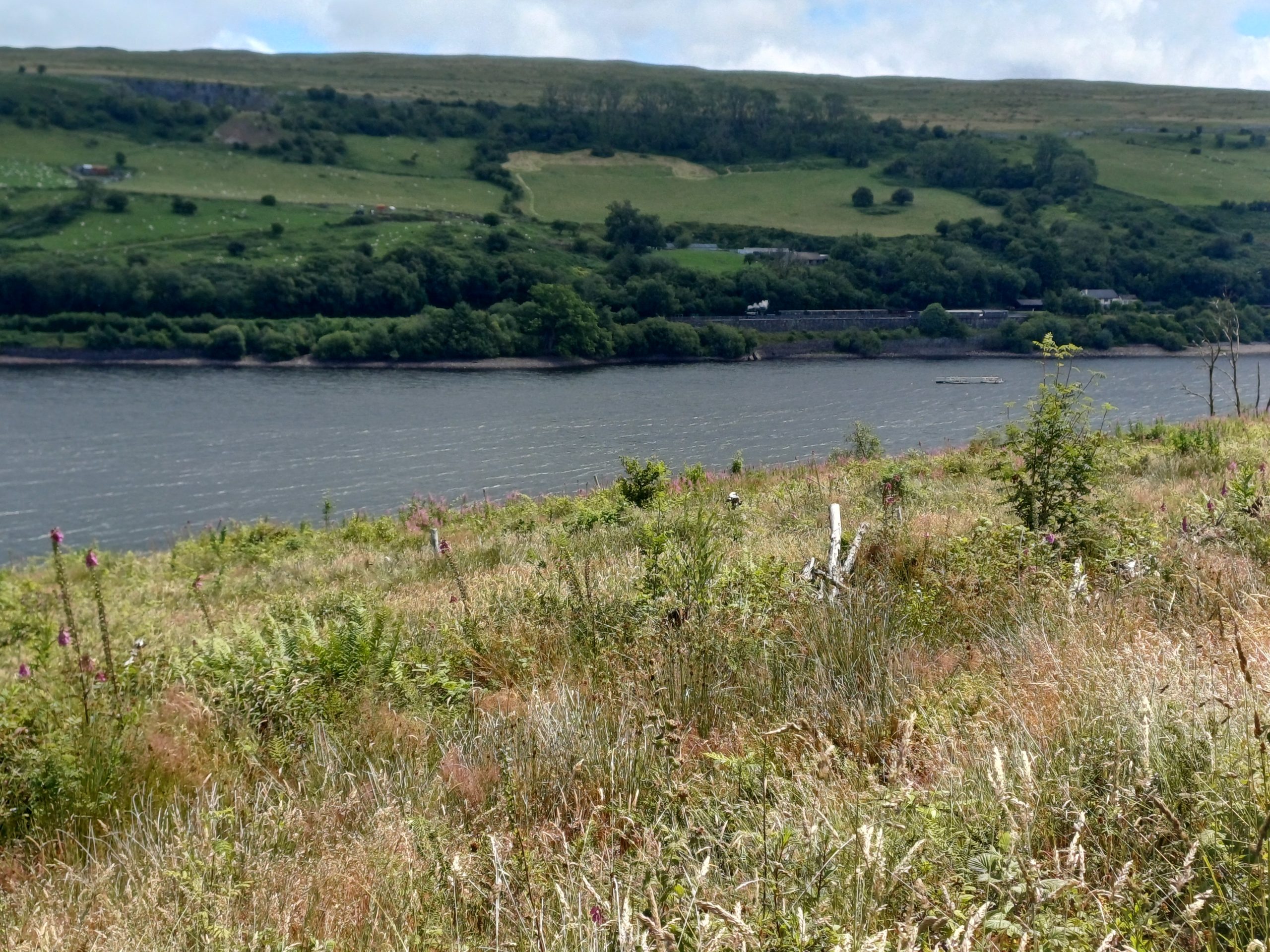
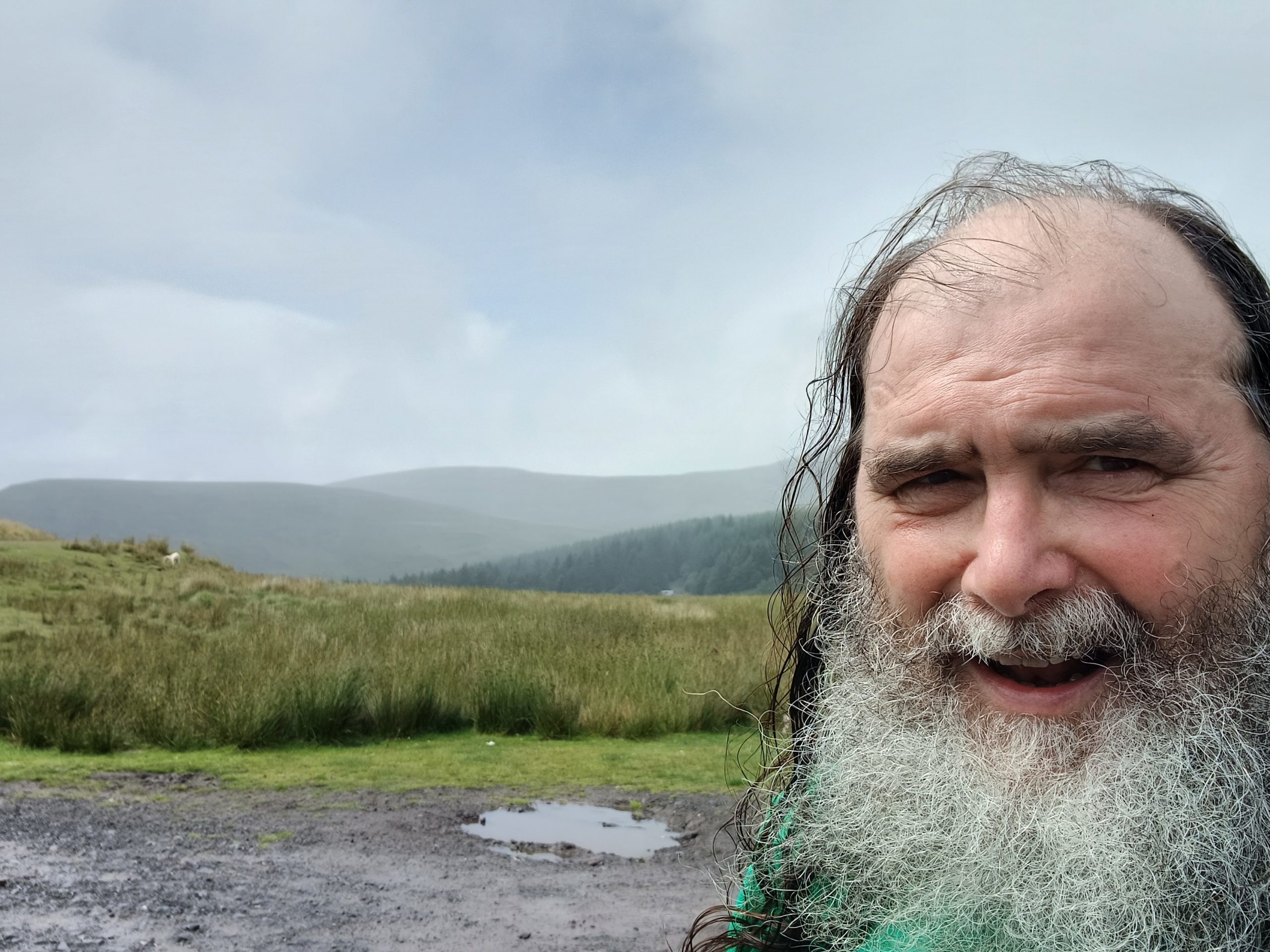
mountains (Talybont to outskirts of Merthyr) – a mixture of woodland, lakeside and amazing views.
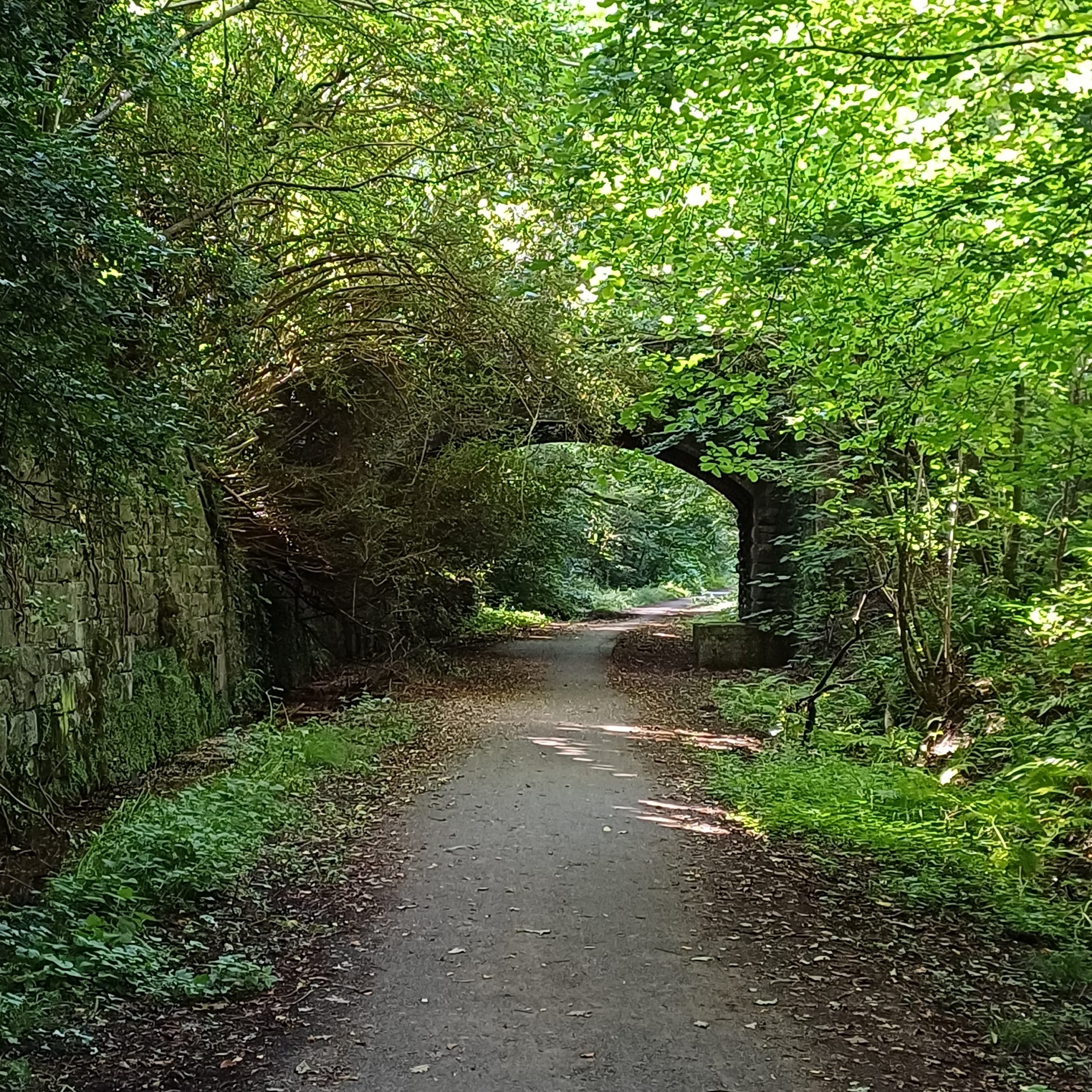
semi-rural disused railways (most of Merthyr to edge of Cardiff) – good paths, sometimes through woodlands, sometimes behind terraces, and mostly along the valley sides, with post-ex-mining towns below and some spectacular views across to the opposite valley sides. I know How Green was my Valley was set in the Rhondda Valley, but seeing the glorious open countryside of the valley-tops kept bringing my mind to this phrase. The coal tips that scarred the land for so many years have been landscaped and it is again gloriously beautiful.
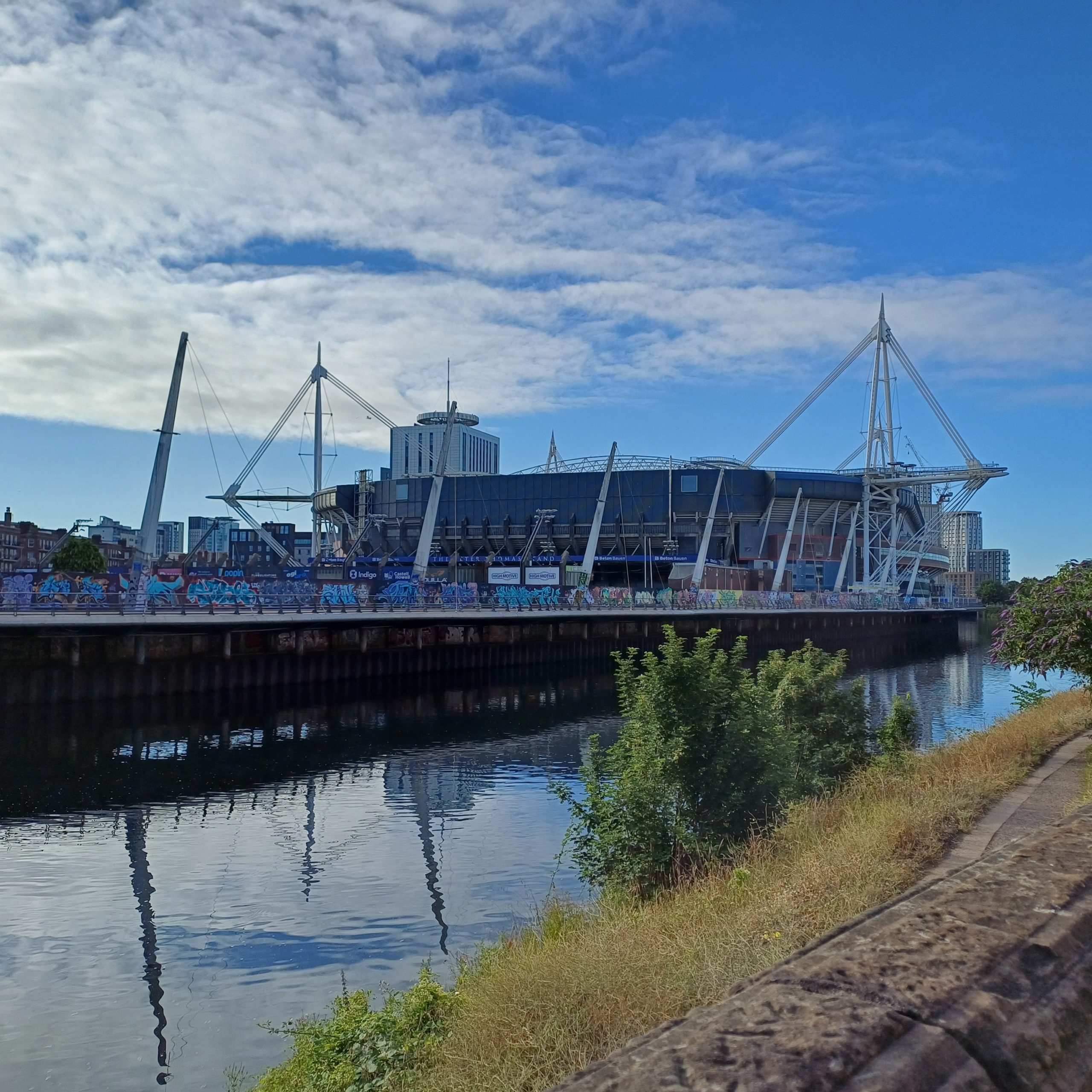
urban and parkland (Cardiff and outskirts, and also small patches around Merthyr and Pontypridd) – easy running with plenty of places to stop for a cuppa if you wanted!
The Cardiff Bay Trail is also of the last kind, with the addition of the amazing run across the barrage and Aberaeron to Llanerchaeron a sort of small-town version!
Sustenance
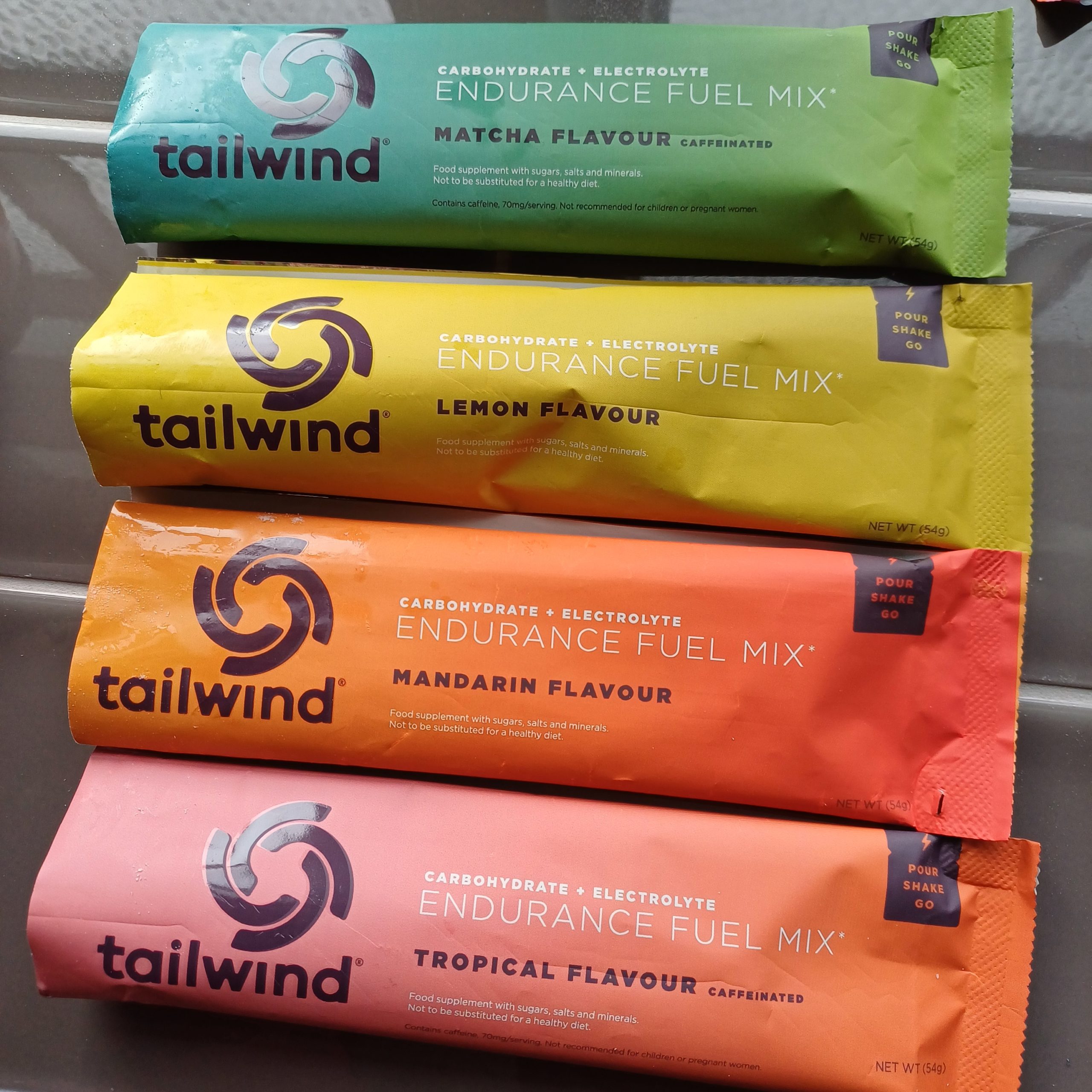
On the way I had Tailwind in my Camelback water and Kendal mint cake. I always find getting food right is the hardest thing as i am not very systematic. However I had set MapMyRun to log my distance, and every mile to told me how far and how fast I had been. When this first happened on the first day I was tempted to turn the sound down, but then realised it was useful and I tried to take a small piece of Kendal Mint cake at each mile as well as sipping my water (plus Tailwind) when I noticed myself a little breathless (seems to be the sign of needing water). On the first and second days I also got a bacon butty about six miles in, eating a little then and the rest later.
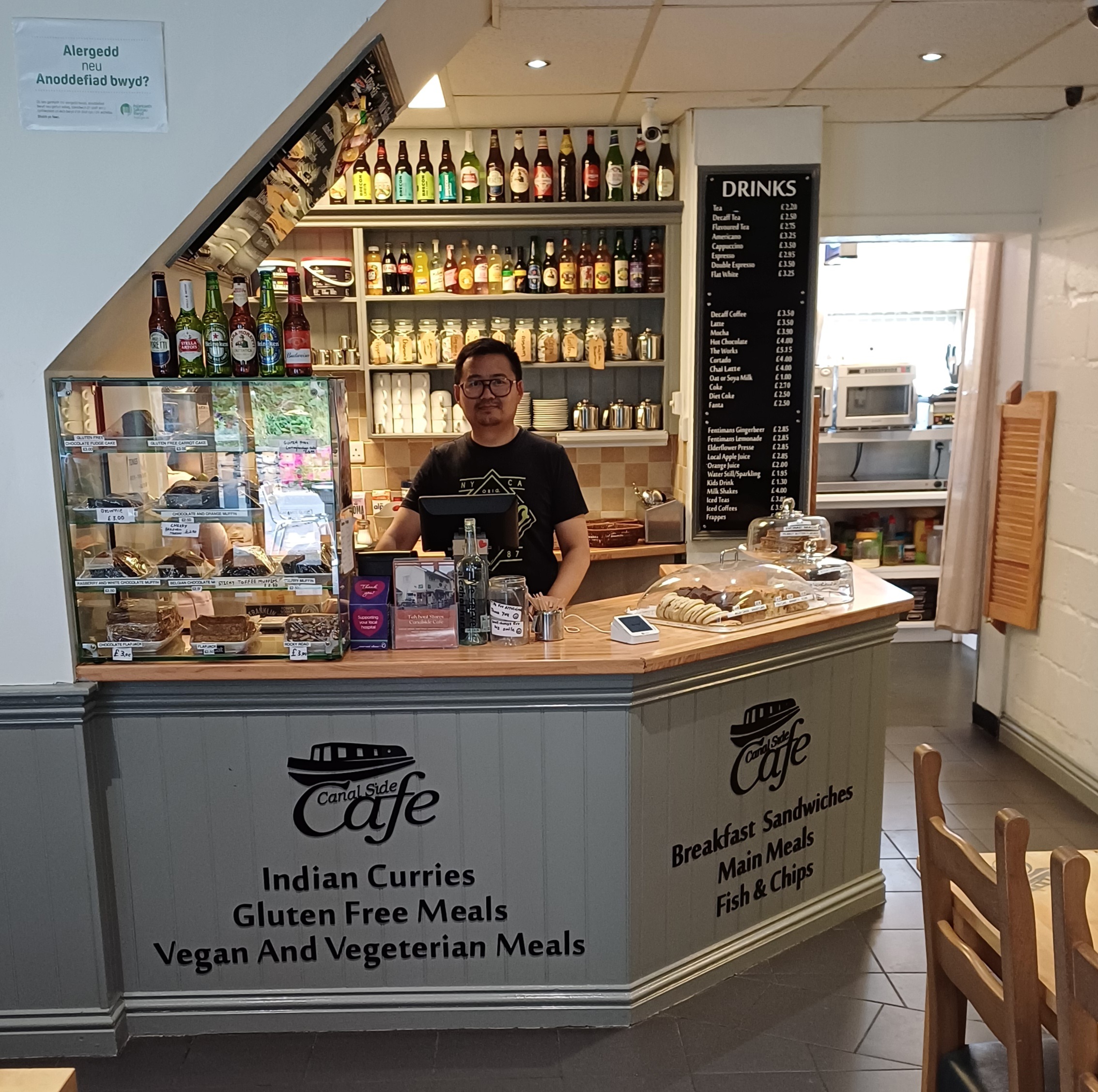
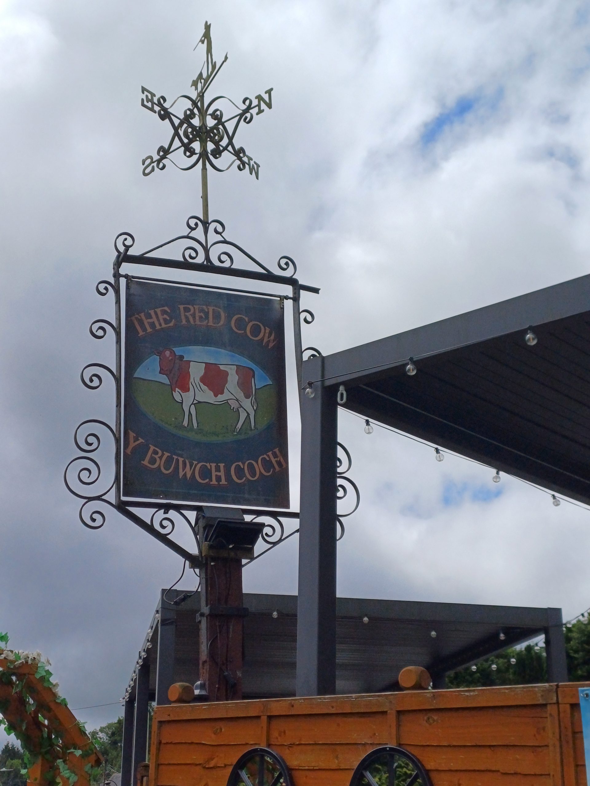
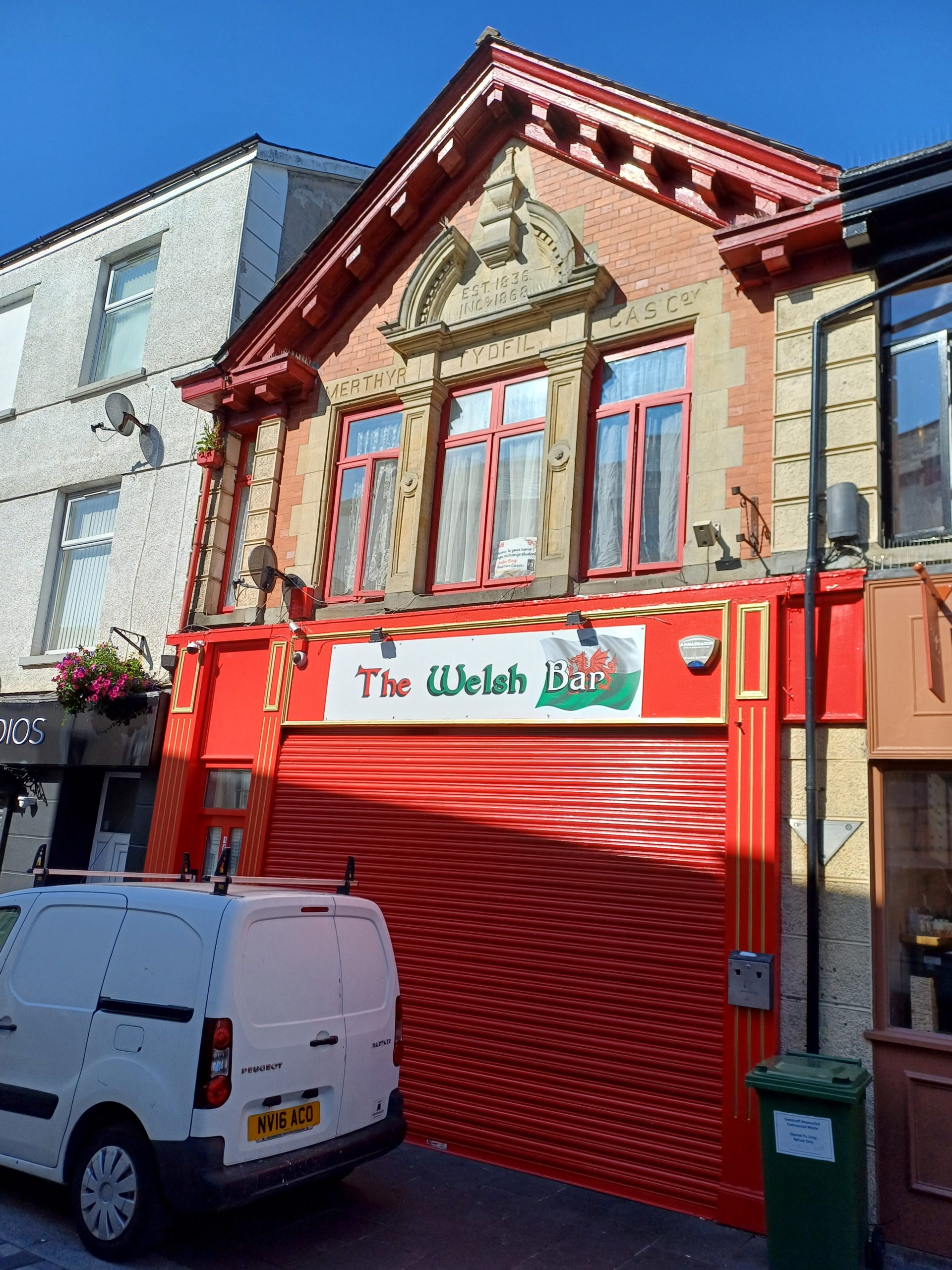
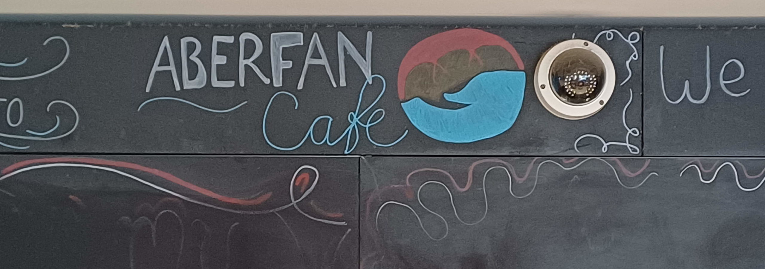
While on the way or at the end of runs I got food/drink from Talybont Calalside Cafe, The Red Cow in Pontsticil, The Welsh Bar in Merthyr, the Aberfan Community Centre Cafe, and the Senedd cafe, Brodies on the Wall in Bute Park and the Atrium at Cardiff Met In the evenings I had food from The Wellfield fish and chip shop, The Castle of Brecon Hotel and the Maltsters in Llandaff.